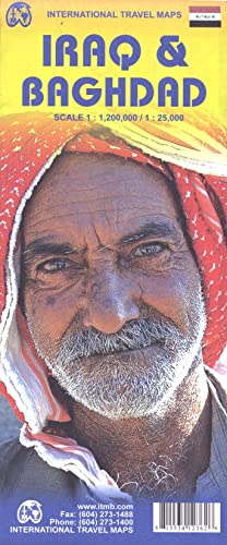
Double sided map features a road and travel map of Iraq, scale 1:1,200,000 on one side and a street plan of Baghdad 1:25,000 (including the International Zone, formerly Green Zone). The country map distinguishes roads rangin...

Buy Now From Amazon

Product Review

Double sided map features a road and travel map of Iraq, scale 1:1,200,000 on one side and a street plan of Baghdad 1:25,000 (including the International Zone, formerly Green Zone). The country map distinguishes roads ranging from highways to other categories. Main legend includes railways, airports, points of interest, water wells and oil wells.

The city plan shows old city area, parks, walls, town gates, palaces, mosques, Khans, churches, monuments, museums, hospitals, hotels, restaurants, night clubs, bus stations, taxi stands, parking, petrol stations. Extensive place name index for each side. The map was updated in 2011 and reflects the realities of Iraq after the Iraqi Freedom operation.
Similar Products

Jordan 1:610,000 & Syria 1:740,000 Travel map (International Travel Maps)Iraq: The ancient sites & Iraqi Kurdistan (Bradt Travel Guides)Oman & Yemen 1:1,400,000 Including inset of U.A.E, Salalah, Central Muscat, Sana'a, Taizz ITM travel map (International Travel Maps)Afghanistan 1:1,000,000 Travel Map (International Travel Maps)Iraq Travel Map (Globetrotter Travel Map)Israel (National Geographic Adventure Map)Syria, Lebanon = Syrie, Liban = Syrien, Libanon = Sziria, Libanon (CARTES (20350)) (French Edition)National Geographic: Iraq Classic Wall Map (28.25 x 24.25 inches) (National Geographic Reference Map)Qatar and Doha City Travel Reference map (International Travel Maps)National Geographic Atlas of the Middle East, Second Edition: The Most Concise and Current Source on the World's Most Complex Region